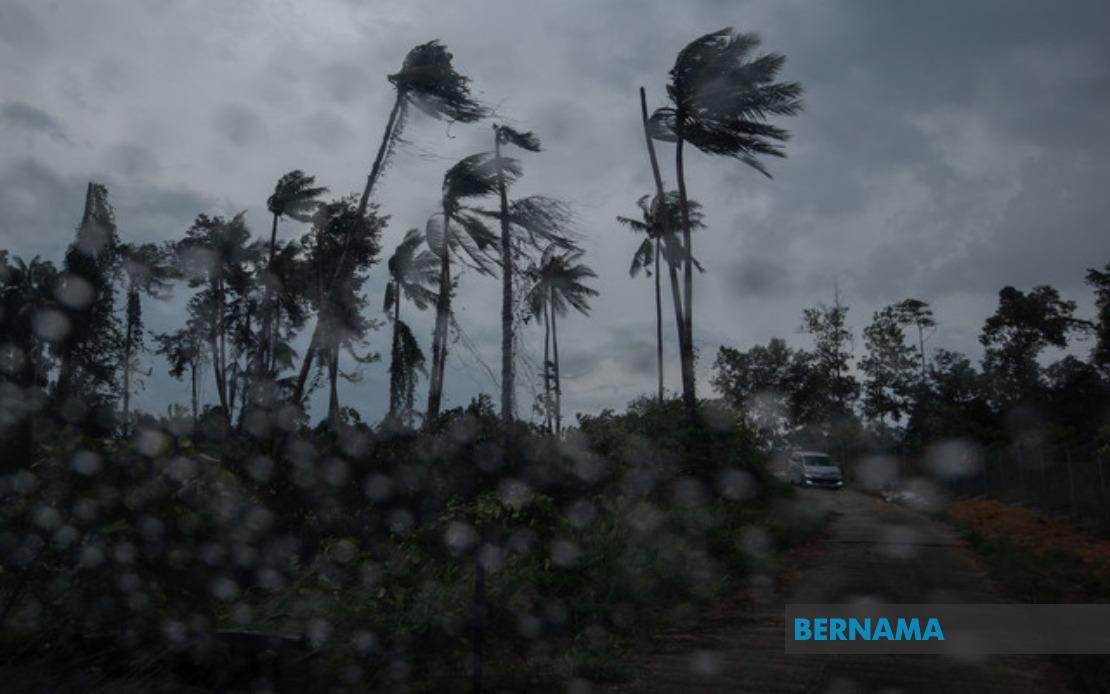
Residents across multiple states on the Peninsular and in Sarawak should brace for severe weather conditions this morning, with the Malaysian Meteorological Department issuing an alert for thunderstorms, heavy rain and strong winds that will persist until 1pm. The warning, issued at 8.35 am, represents a typical short-term meteorological advisory valid for no more than six hours, reflecting the rapid development and dissipation patterns of convective weather systems common to the region during monsoon and inter-monsoon seasons.
The Peninsular states facing the brunt of the weather system include Perlis and Melaka in their entirety, alongside specific districts in several other states. In Kedah, the northern towns of Langkawi, Kubang Pasu and Kota Setar fall within the warning zone, potentially disrupting activities in one of Malaysia's premier tourism destinations and its surrounding industrial areas. This geographic spread suggests a broad trough or convergent zone affecting the west coast and portions of the interior.
The central Peninsular region is similarly affected, with Pahang experiencing warnings across three significant areas: Kuantan, the state capital and major commercial hub; Pekan, home to the Petronas Refinery and Petrochemical Complex; and Jerantut in the interior. Such conditions in Kuantan carry implications for port operations and the broader economic activity in the region. Meanwhile, Selangor's Sepang and Kuala Langat districts face the weather system, areas encompassing major transportation infrastructure and industrial zones that depend on consistent weather conditions.
Negeri Sembilan registers five affected districts, spanning the state from the Seremban administrative centre through to the southern regions of Kuala Pilah and Tampin. This widespread coverage across the state indicates a substantial weather system. Similarly, Johor's Tangkak and Muar districts, located in the northern portions of the state, face the severe conditions, affecting areas with significant agricultural and manufacturing activities. The concentration of warnings across these interconnected regions suggests a coherent meteorological phenomenon rather than scattered, isolated thunderstorms.
Across the South China Sea, Sarawak faces comparable conditions in nine distinct areas, reflecting how monsoon troughs and convergence zones can simultaneously influence both the Peninsula and East Malaysia. Mukah, Selangau, Sibu, Sarikei, Maradong, Bintulu, Kapit, Bukit Mabong and Subis in Miri represent a substantial portion of Sarawak's populated and economically significant regions. The inclusion of Sibu, the state's second-largest city and a major river port, highlights the potential for disruption to commercial activities and river transport, critical lifelines in the state's interior.
The combination of thunderstorms, heavy rain and strong winds presents a multifaceted hazard profile for the affected regions. Heavy rain poses flooding risks, particularly in low-lying areas and flood-prone districts that residents know all too well from previous monsoon seasons. The strong winds accompanying such thunderstorms can damage structures, overturn vehicles, and disrupt power supply networks, as wind gusts during severe convective activity frequently reach speeds that challenge infrastructure resilience. Thunderstorms themselves bring the additional risk of lightning strikes, a hazard that often goes underestimated despite Malaysia's position in the tropical lightning-prone zone.
For residents and businesses in the warning areas, the six-hour validity window demands prompt attention. Those planning outdoor activities, construction work, or transportation should factor the weather disruption into their schedules. Port authorities in Kuantan and Sibu may need to assess berthing arrangements and cargo handling schedules. Utilities providers monitoring electrical infrastructure will be vigilant given the lightning risk. Schools and public institutions in affected areas should ensure adequate shelter arrangements, particularly if the alert continues or updates are issued extending the warning period.
The short-term nature of such alerts reflects the challenges meteorologists face with convective systems, which can intensify rapidly but also dissipate or shift location with relative speed. The one o'clock deadline provides a defined endpoint, though forecasters occasionally extend or reissue alerts if conditions warrant. Residents should remain alert to official communications from MetMalaysia and local authorities, as the agency typically updates alerts based on evolving observational data from radar networks and weather stations distributed across the country.
Such weather patterns are not uncommon for Malaysia's geography and seasonal climate dynamics. The convergence of different air masses, the influence of sea and land breezes, and orographic effects from mountain ranges frequently generate localised thunderstorm activity, particularly during transition periods between major monsoon regimes. Understanding these patterns helps residents and planners anticipate seasonal weather volatility and implement appropriate preparedness measures. For the roughly two million people living across the warned districts, today's alert is a reminder of the region's dynamic tropical climate and the importance of weather awareness in daily planning.

