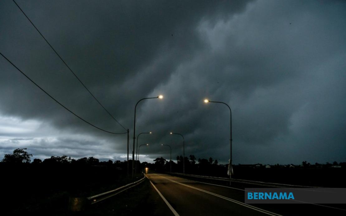
The Malaysian Meteorological Department issued a widespread weather alert on August 2nd, warning residents across 10 states to prepare for thunderstorms, intense rainfall and powerful gusts until 6 pm. The alert represents a significant weather event affecting multiple regions simultaneously, requiring residents and authorities to implement precautionary measures to ensure public safety during the forecasted conditions.
The northern region faces considerable exposure to the incoming weather system, with Perlis entirely within the warning zone alongside substantial portions of Kedah. In Kedah specifically, six districts—Padang Terap, Kuala Muda, Sik, Baling, Kulim and Bandar Baharu—have been flagged for potential severe conditions. Similarly, Perak experiences widespread coverage, with ten districts identified as vulnerable, including Kerian, Larut, Matang and Selama, Hulu Perak, Kuala Kangsar, Kinta, Kampar, Batang Padang and Muallim, indicating that the northern corridor faces particularly intense meteorological pressure.
The east coast region also falls within the forecasted danger zone, encompassing Kelantan where seven districts warrant heightened alert status: Pasir Mas, Jeli, Tanah Merah, Machang, Pasir Puteh, Kuala Krai and Gua Musang. Terengganu faces comprehensive coverage across the entire state, suggesting uniformly distributed risk throughout the region. Pahang, despite its vast geographic expanse, sees targeted warnings in eight specific areas: Cameron Highlands, Lipis, Raub, Jerantut, Bentong, Kuantan, Pekan and Rompin, which encompasses both inland highland regions and coastal zones vulnerable to intense precipitation and wind phenomena.
The Klang Valley and its surrounding regions experience limited but notable impact, with only Hulu Selangor in Selangor identified within the warning parameters. This localised approach suggests meteorological conditions concentrate primarily along the northern and eastern trajectories rather than affecting the densely populated central corridor uniformly. By contrast, Johor experiences more distributed exposure across seven districts: Batu Pahat, Kluang, Mersing, Pontian, Kulai, Kota Tinggi and Johor Bahru, indicating that southern peninsular Malaysia encounters significant weather system influence.
Sarawak, despite substantial geographic distance from the peninsula, remains substantially affected by this weather phenomenon, illustrating the expansive reach of atmospheric conditions across Southeast Asia. Multiple divisions face alerts: Kuching division encompasses Bau and Kuching proper; Betong division includes Saratok and Kabong; while Sarikei stands alone as a warning zone. Sibu division encompasses Sibu and Selangau; Mukah, Bintulu, and the sizeable Miri division—covering Subis, Beluru, Miri and Marudi—all require heightened preparedness. Limbang extends warnings to Sarawak's northern reaches, demonstrating the system's comprehensive geographic penetration.
Sabah similarly experiences substantial territorial exposure across multiple administrative zones. The Interior region encompasses five districts: Sipitang, Tenom, Kuala Penyu, Beaufort and Tambunan, representing significant inland exposure. The West Coast division requires general alert status, while Sandakan division specifically identifies Beluran as vulnerable. Kudat in the northernmost reaches completes the warning landscape, suggesting the East Malaysian states encounter broadly distributed atmospheric instability requiring coordinated preparedness responses.
Thunderstorm warnings carrying simultaneous heavy rainfall and strong wind components represent compound meteorological hazards. Heavy precipitation escalates flood risks in low-lying areas, disrupts transportation networks, and threatens infrastructure including power distribution systems. Strong winds compound these dangers through potential structural damage, downed trees, and safety hazards for outdoor activities and maritime operations. The combination creates multiplicative rather than additive risks, demanding comprehensive rather than segmented emergency preparedness from relevant authorities.
For Malaysian residents and businesses, such widespread alerts necessitate practical protective measures. Travellers should postpone non-essential journeys, particularly across affected districts. Outdoor events and activities warrant postponement or relocation indoors. Motorists should exercise heightened caution regarding reduced visibility and slippery road conditions. Residents in flood-prone zones should implement preventive drainage measures and remain alert to evacuation announcements. Fishing communities and maritime operators should secure vessels and avoid open water during the warning period.
Authorities in affected states typically activate monitoring centres and emergency response protocols when such comprehensive alerts emerge. Local government bodies coordinate with meteorological services for real-time condition updates, while disaster management agencies position response teams strategically. Community leaders in vulnerable areas often implement precautionary measures including temporary closures of recreational facilities and enhanced emergency communication channels. These coordinated responses reflect established protocols designed to minimise casualties and property damage during predictable severe weather events.
The geographic extent of this particular alert—spanning from Perlis to Sabah—underscores how tropical weather systems generate widespread synchronised impacts across Malaysia's dispersed geography. Such unified weather events, while manageable through existing preparedness frameworks, nonetheless demand simultaneous resource deployment across multiple state jurisdictions. Understanding these broader meteorological patterns assists businesses, commuters and residents in developing robust contingency planning appropriate to Malaysia's tropical climate dynamics and seasonal weather variations.
Residents in warned areas should remain attentive to real-time updates from MetMalaysia and local authorities, as meteorological conditions may intensify, persist longer than anticipated, or require expanded warning zones. The six-hour warning window provides adequate preparation opportunity but demands immediate rather than delayed action. Weather alerts serve not merely as informational notices but as actionable guidance enabling communities to implement protective measures that collectively reduce risks during predictable natural phenomena inherent to tropical Southeast Asian geography.

