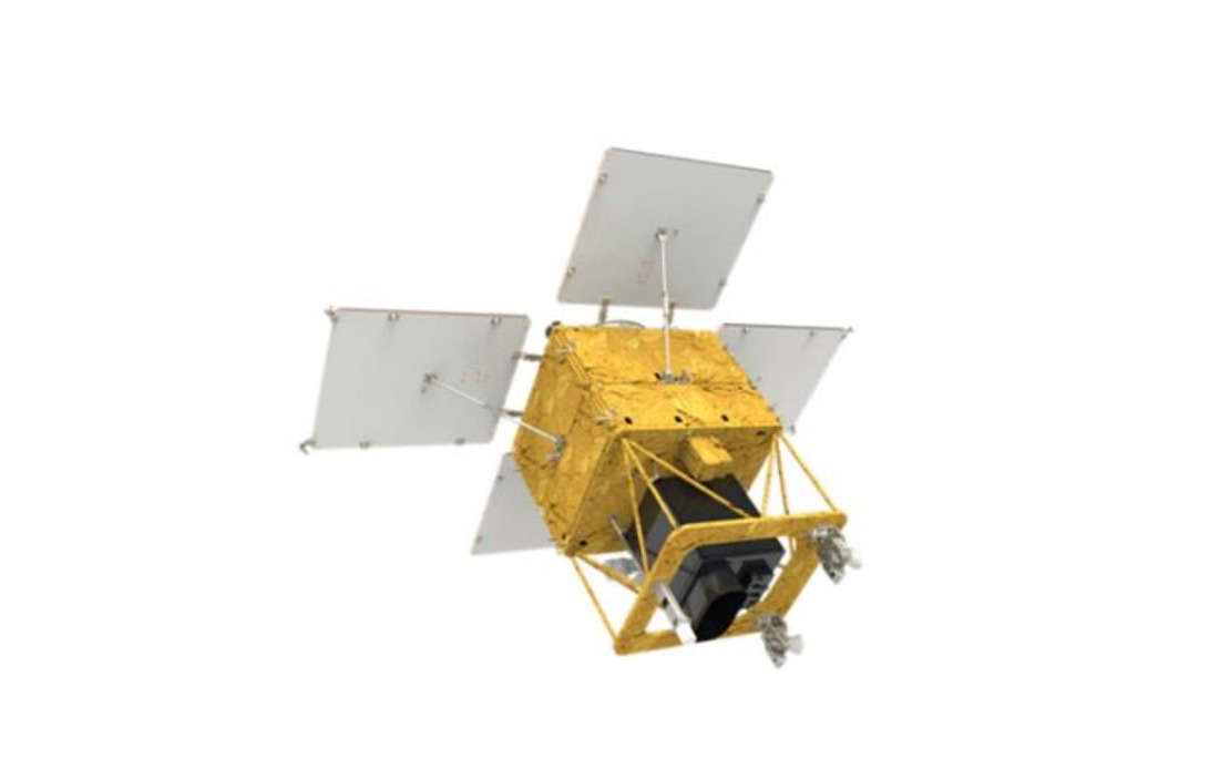
South Korea is moving ahead with its fourth medium-sized earth observation satellite, preparing for a Falcon 9 launch from Vandenberg Space Force Base in California. The Korea Aerospace Administration confirmed the 500-kilogramme satellite was readied for deployment, marking another milestone in Seoul's expanding space programme aimed at enhancing domestic surveillance and environmental monitoring capabilities.
The satellite completed rigorous functional tests and fuel preparation over recent weeks, with the Korea Aerospace Administration overseeing final readiness checks before handover to SpaceX. Launch was scheduled for 4.10 pm Korean time from the California military facility, continuing South Korea's strategy of partnering with experienced international launch providers while developing indigenous space expertise. This approach balances cost efficiency with the need to maintain reliable access to orbit for critical national infrastructure.
Once separated from the Falcon 9 approximately two hours and 22 minutes after liftoff, the satellite will establish ground contact through the Svalbard station in Norway roughly half an hour later. This communications pathway is crucial for initial telemetry verification and trajectory confirmation before the spacecraft reaches its operational altitude of approximately 888 kilometres. The remote Norwegian facility serves multiple regional space agencies, reflecting growing international cooperation in space operations across the Arctic and Northern European regions.
The satellite is equipped with Korean-developed payloads, most notably an imaging camera engineered to capture detailed photographs of the entire Korean Peninsula at three-day intervals. This imaging frequency is significant for monitoring rapid environmental changes and responding to time-sensitive situations. The capability to systematically observe the peninsula's geography with such regularity provides authorities with consistent data streams rather than sporadic snapshots, enabling more sophisticated analytical approaches to environmental management.
Seoul envisions the satellite serving multiple practical applications across civilian and administrative sectors. Agricultural planners can utilise the imagery for crop health assessment and yield prediction, informing policy decisions on food security and rural development. Forest management agencies gain tools for tracking vegetation changes, detecting illegal logging, and assessing damage from natural disasters like typhoons and wildfires. The consistent data flow also supports disaster response coordination, providing authorities with real-time situational awareness during floods, earthquakes, or other emergencies affecting populated areas.
Climate scientists anticipate the satellite will contribute valuable observations to understanding long-term environmental shifts across the peninsula and broader Northeast Asia. Changes in snow cover, vegetation patterns, and water bodies can be monitored systematically, building datasets that illuminate how warming temperatures and shifting precipitation patterns affect Korean ecosystems. Public safety agencies similarly expect operational benefits, using satellite imagery for urban planning, infrastructure monitoring, and identifying risks in densely populated regions.
The satellite will enter a four-month commissioning phase following orbital insertion, during which engineers will thoroughly validate all systems, calibrate instruments, and optimise operational procedures. This testing window is standard practice in satellite operations, allowing teams to identify and resolve technical issues before handing the spacecraft over to civilian users. Full operational service is targeted for the first half of next year, when routine data collection and distribution to end-user agencies will commence at scale.
This launch represents a significant component of South Korea's broader space independence agenda. By developing indigenous satellite platforms and payloads while selectively outsourcing launch services to reliable international partners, Seoul achieves operational continuity without bearing the full cost and complexity of developing its own launch infrastructure. This pragmatic model mirrors strategies pursued by other technologically advanced nations seeking space capabilities without unlimited budgets.
For Southeast Asian observers, South Korea's expanding earth observation network underscores how regional powers are building sophisticated monitoring systems. The region itself faces similar challenges requiring satellite imagery—agricultural productivity assessment, forest conservation, disaster preparedness, and climate adaptation. South Korea's investments in this domain may eventually create opportunities for neighbouring countries to access compatible data or partner on shared environmental monitoring initiatives, particularly as Southeast Asia grapples with complex transboundary environmental issues requiring consistent observational capability across borders.