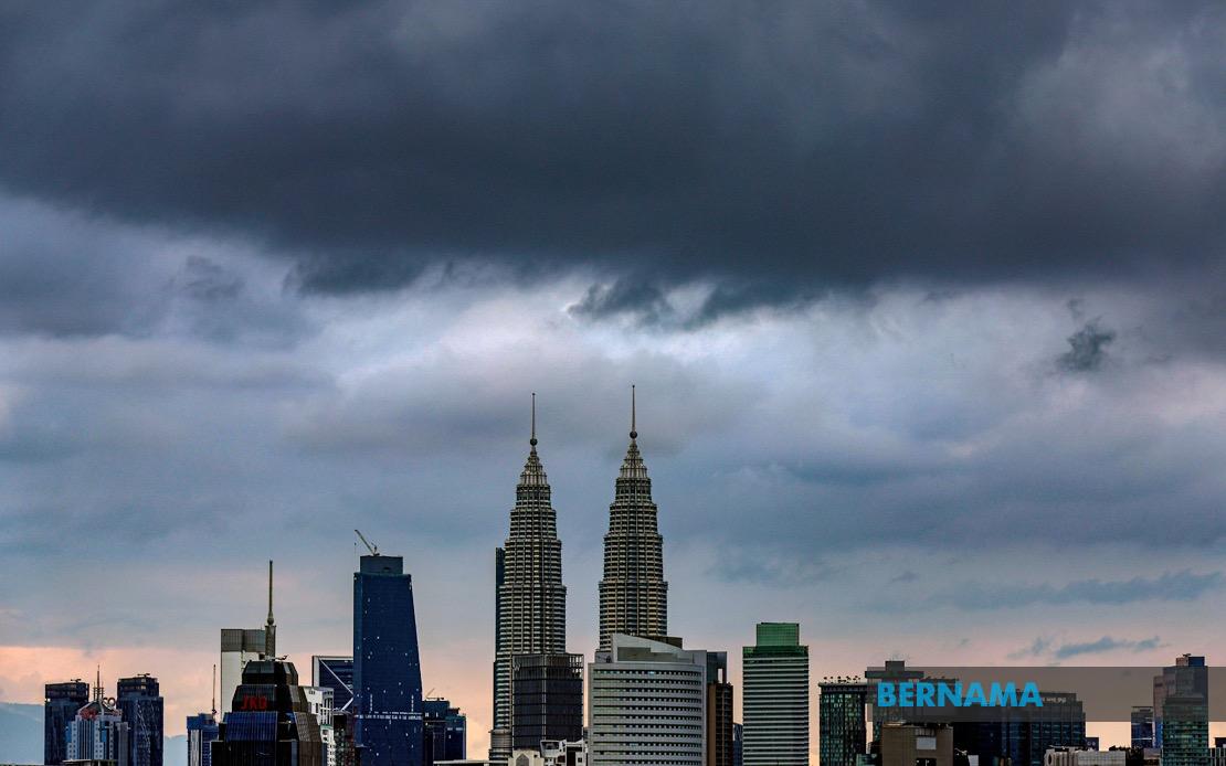
The Malaysian Meteorological Department has activated weather alerts across a significant portion of the country's densely populated western and central regions, warning of intense thunderstorms, torrential rain and gusty winds that are forecast to persist until 3 pm today. The alert encompasses Kuala Lumpur and Putrajaya, along with eight additional states spanning the peninsula's northern and central belt, indicating a weather system of considerable geographic scope affecting millions of residents and potentially disrupting daily economic activity.
The warning zone extends comprehensively across the entire state of Penang, where residents from urban Georgetown to coastal and inland communities face the same hazardous conditions. Selangor, home to Malaysia's largest metropolitan population outside Kuala Lumpur itself, has been placed on alert with specific districts flagged including Kuala Selangor, Klang, Gombak, Petaling, Kuala Langat, Hulu Langat and Sepang. This expansive coverage in Selangor reflects the vulnerability of sprawling suburban and industrial areas to rapid water accumulation and flooding during intense precipitation events.
In the northern states, Kedah faces particular exposure with seven districts identified in the warning: Yan, Pendang, Kuala Muda, Sik, Baling, Kulim and Bandar Baharu. Perak's exposure is concentrated in two areas—Kerian and Larut, Matang and Selama—though these zones encompass significant population centers and agricultural land. The geographical spread across Kedah and Perak suggests the weather system is moving or positioned to affect the entire northwest corridor, which has witnessed recurring flooding challenges during the monsoon season.
The alert also covers strategic districts across the country's eastern seaboard and southern reaches. Pahang's Rompin district, situated in the state's eastern expanse, sits within the warning zone, while Negeri Sembilan faces alerts affecting Seremban, Port Dickson, Rembau and Tampin. Melaka has been included comprehensively in the warning, and Johor's alert encompasses five districts: Tangkak, Segamat, Muar, Batu Pahat and Kluang, representing a transverse band across the southern state.
The convergence of thunderstorm warnings across such a wide area suggests a significant weather system rather than scattered isolated storms. Heavy rain warnings carry particular weight in Malaysian urban contexts, where drainage infrastructure, despite improvements in recent decades, can become overwhelmed during intense downpours. The Klang Valley and surrounding areas, supporting Malaysia's largest concentration of economic activity and home to nearly 10 million people, represent the zone of greatest practical concern from both economic and public safety perspectives.
Thunderstorms accompanied by strong winds pose specific hazards beyond flooding. Unsecured structures, outdoor signage and vegetation face damage risks, while wind gusts can compromise traffic safety particularly for high-sided vehicles on major expressways. The timing of such warnings during business hours means commuters, commercial operations and construction sites must adapt to rapidly deteriorating conditions, potentially causing congestion as motorists slow to navigate reduced visibility.
The three-hour window until 3 pm suggests MetMalaysia's forecast models indicate the system will either weaken substantially, move away from these regions, or transition toward a different weather pattern by early afternoon. This relatively narrow timeframe means residents and authorities can focus preparedness efforts with reasonable precision. However, the breadth of the alert zone indicates the need for coordinated responses across multiple state and federal administrative jurisdictions, each potentially facing different flood risks depending on local topography and drainage capacity.
For residents in the affected areas, the warning carries practical implications. Outdoor activities should be curtailed, with particular caution around temporary structures or outdoor advertising boards susceptible to strong winds. Motorists are advised to exercise heightened care, particularly on routes with known flooding tendencies. Commercial establishments, schools and public facilities in these zones may require contingency planning, and utility companies typically mobilize crews in anticipation of weather-related infrastructure damage.
The geographic specificity of MetMalaysia's alert—naming precise districts rather than issuing blanket state warnings—reflects the department's capacity for granular weather modeling. This precision allows residents outside the identified zones to proceed with normal activities while those within can take targeted precautions. The alert mechanism itself demonstrates Malaysia's established early warning infrastructure, though the frequency of such warnings during monsoon transitions continues to pose challenges for disaster management authorities coordinating across peninsular Malaysia's fragmented administrative landscape.

